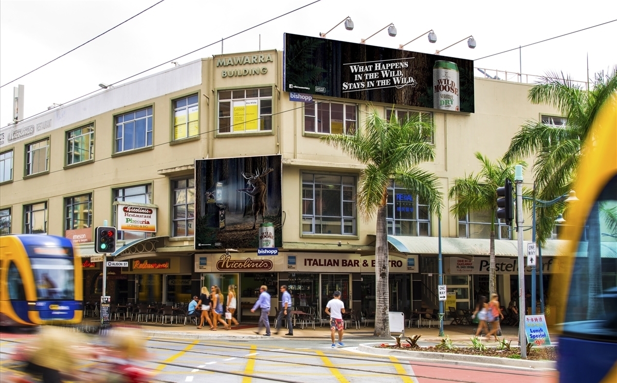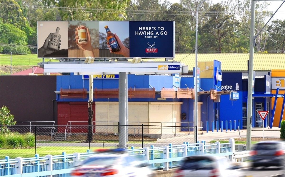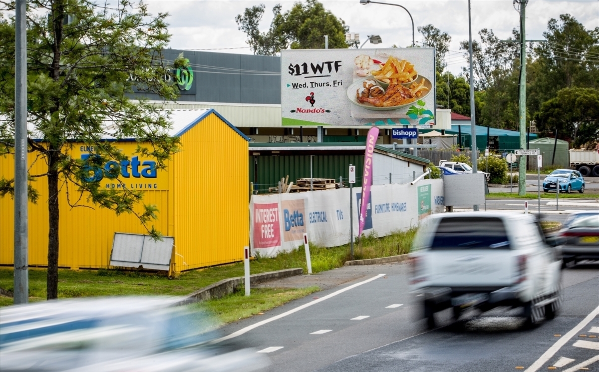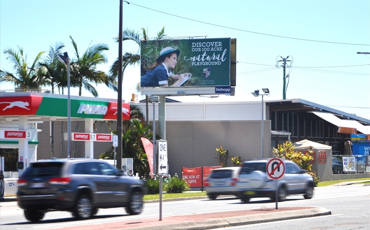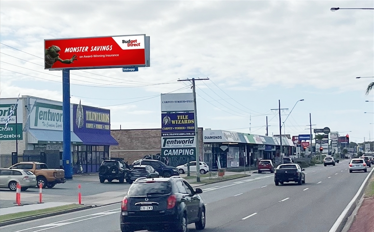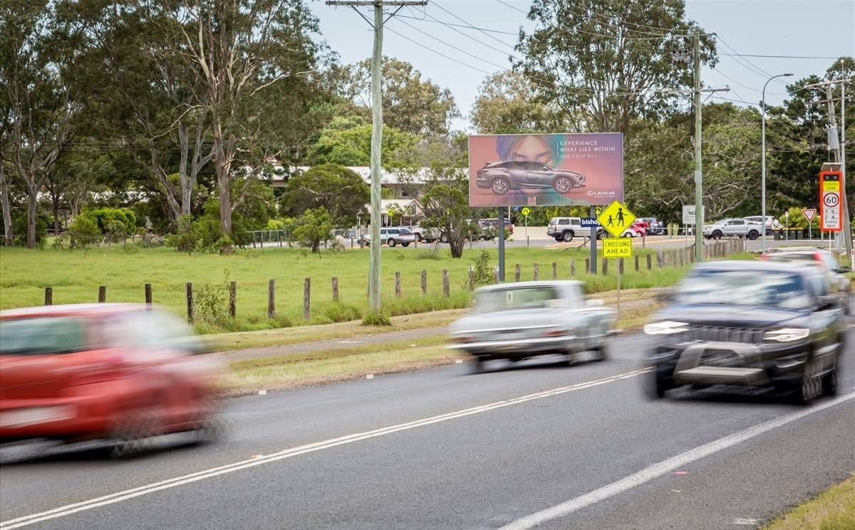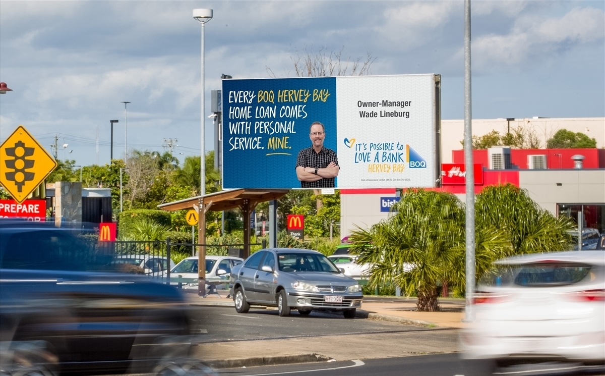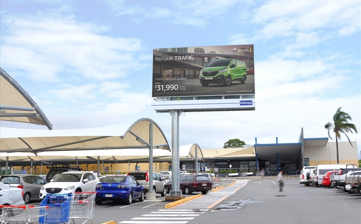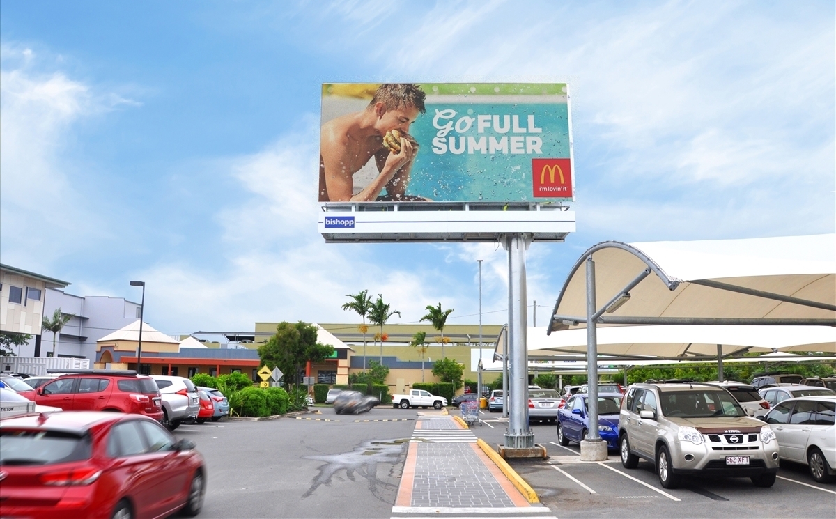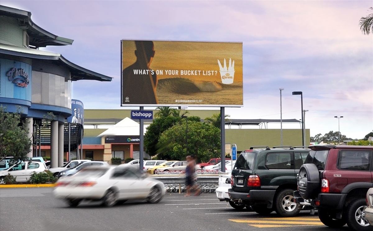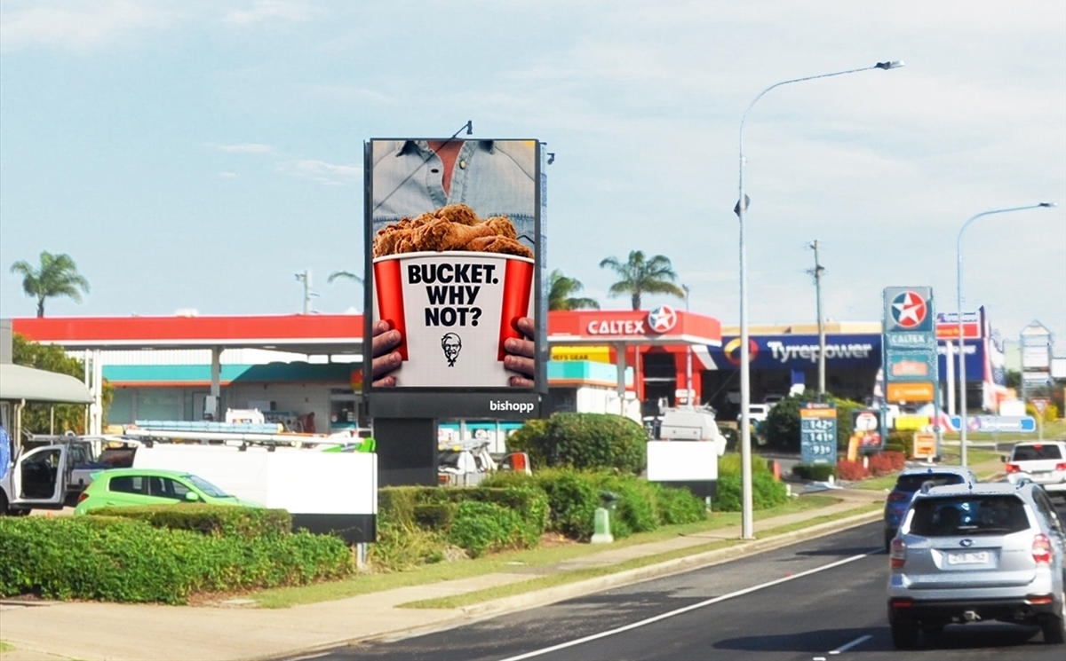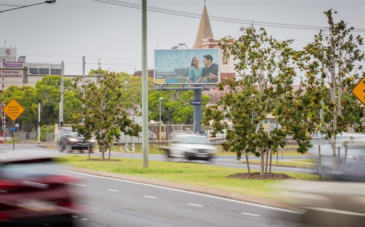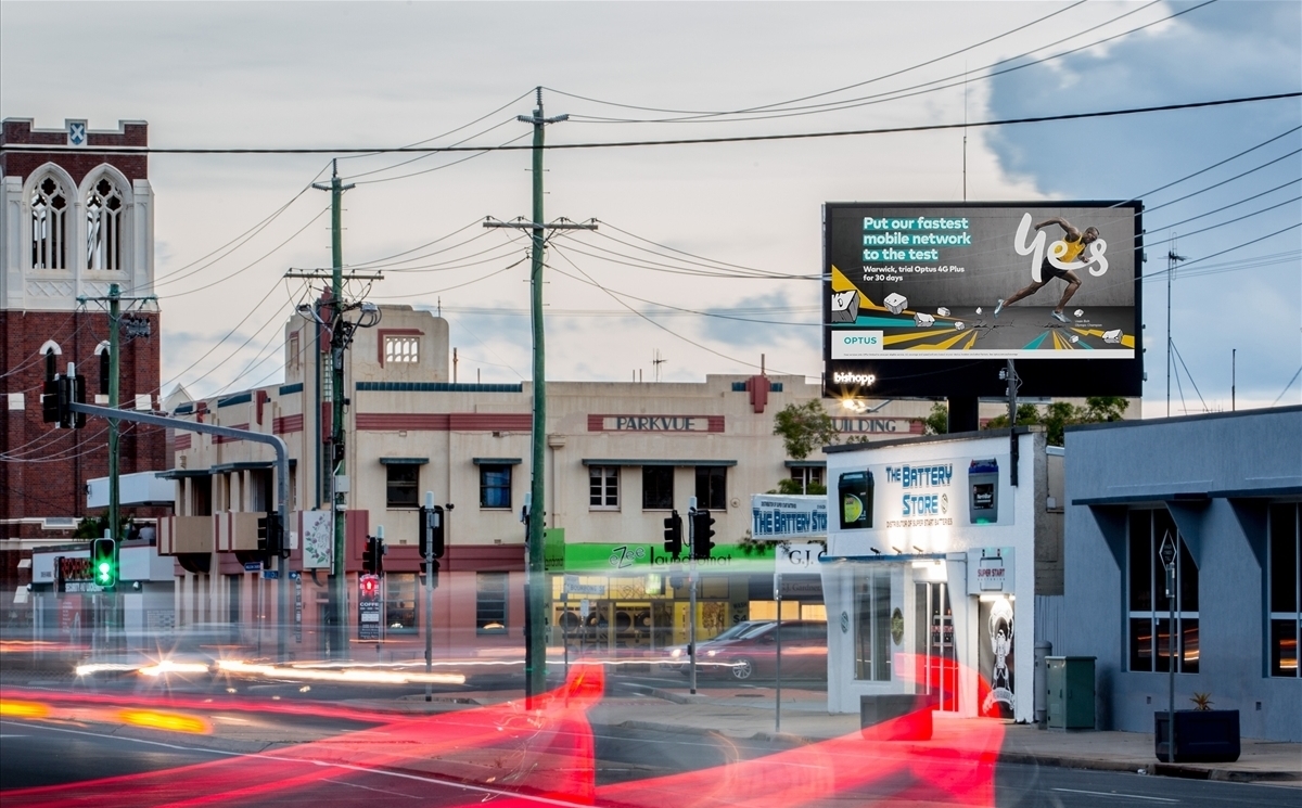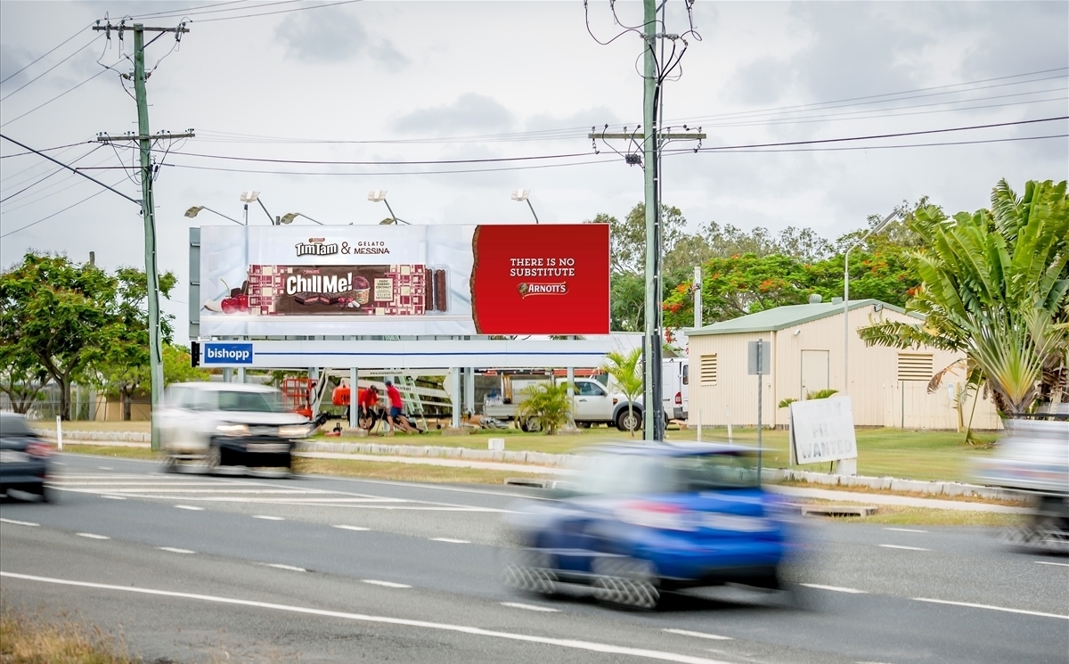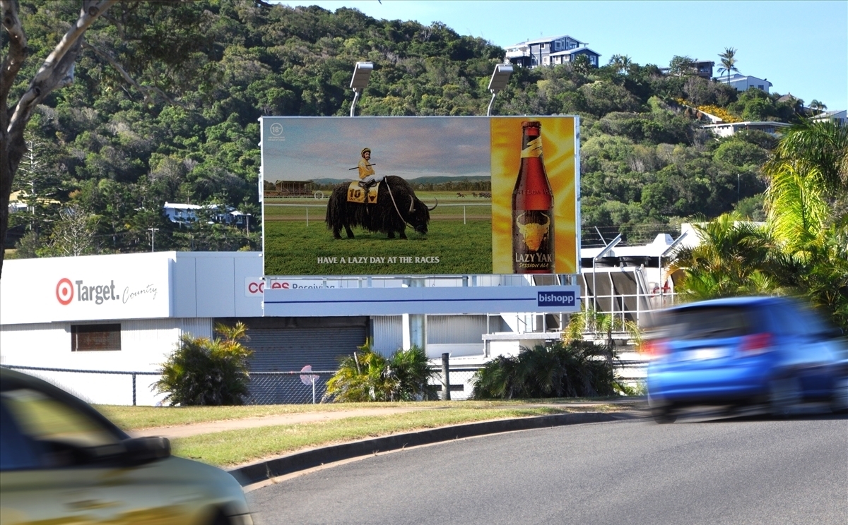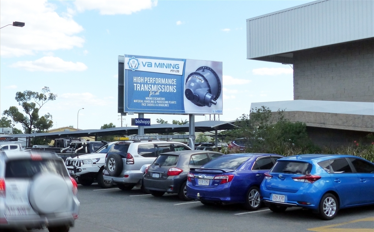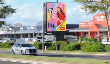
Hervey Bay's busiest shopping centre - Pialba Shopping Centre, including leading retailers Coles, Big W and the Hervey Bay RSL.
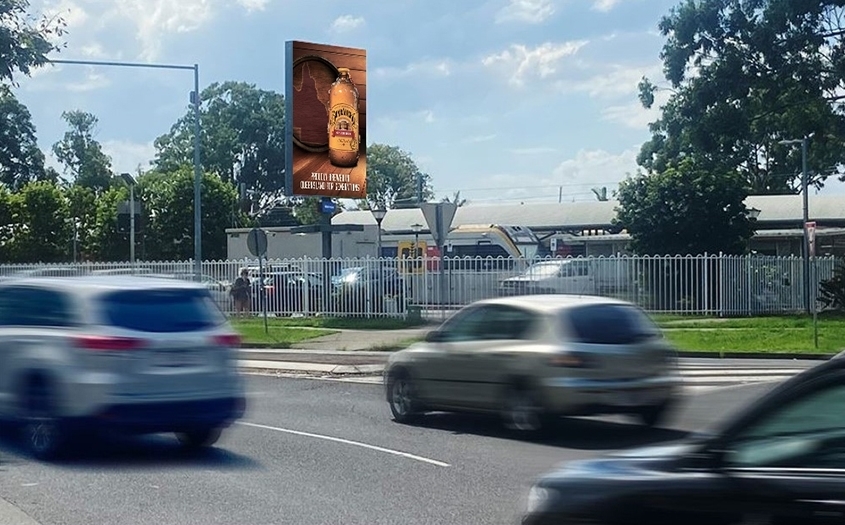
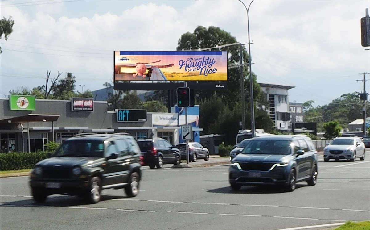
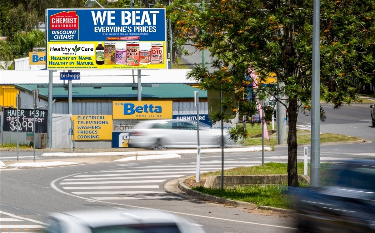
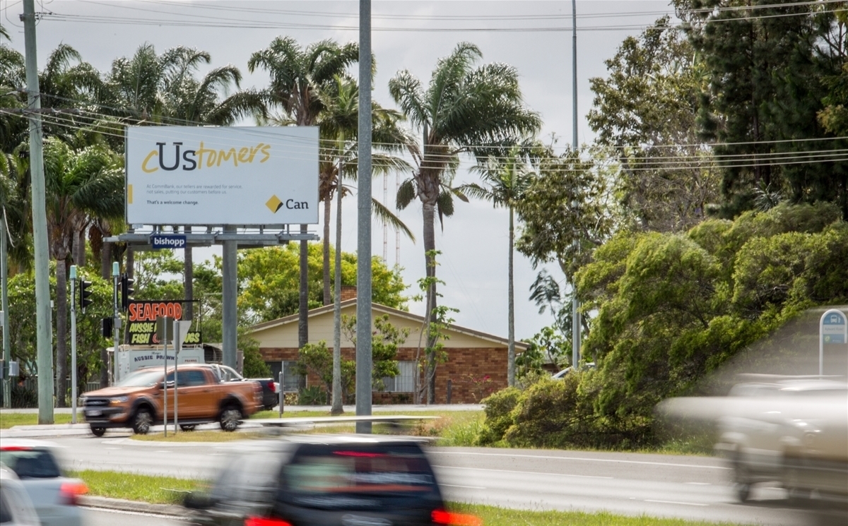
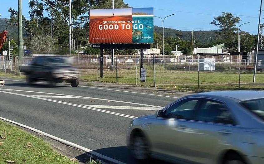
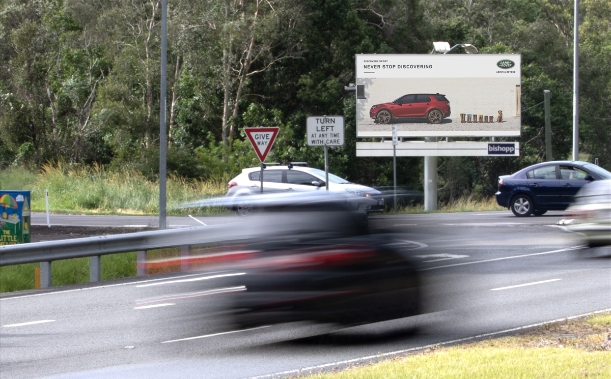
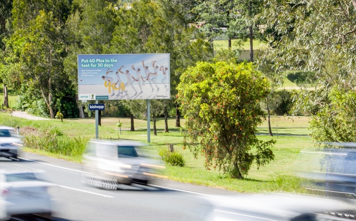
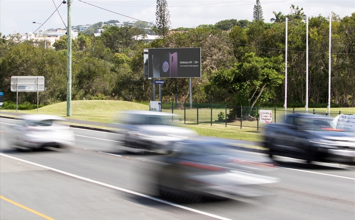
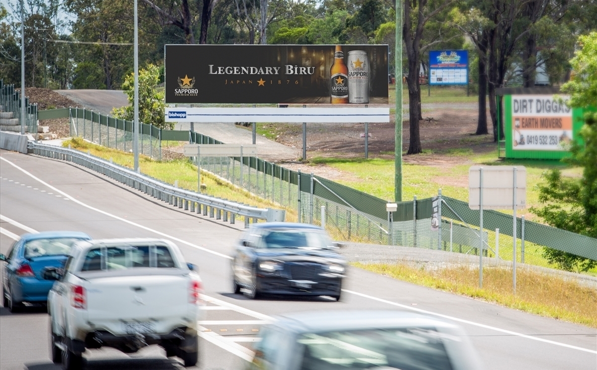
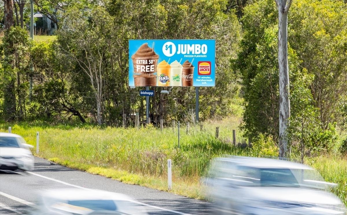
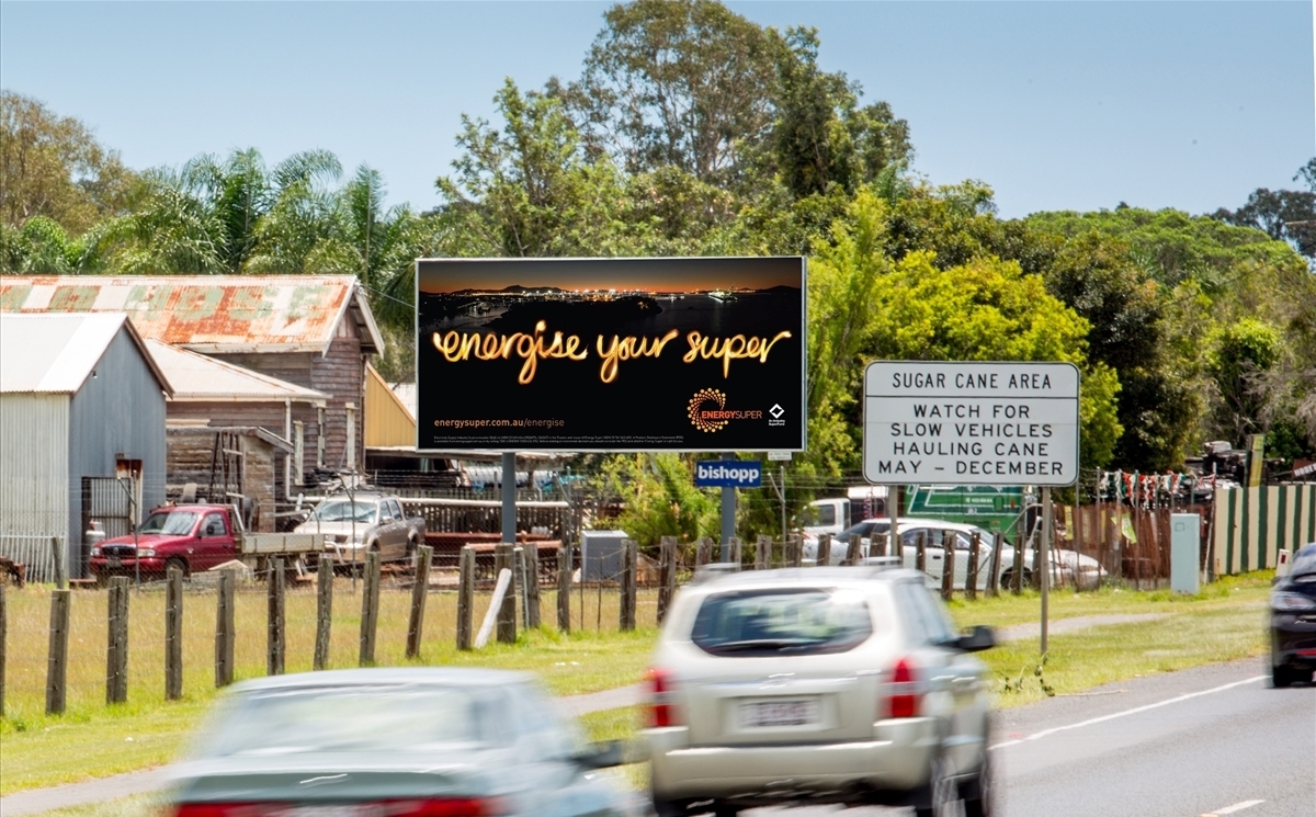
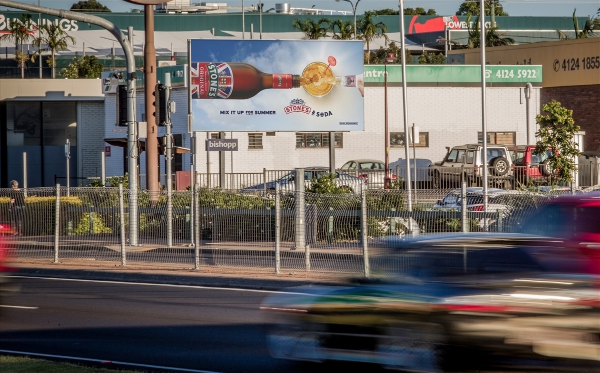
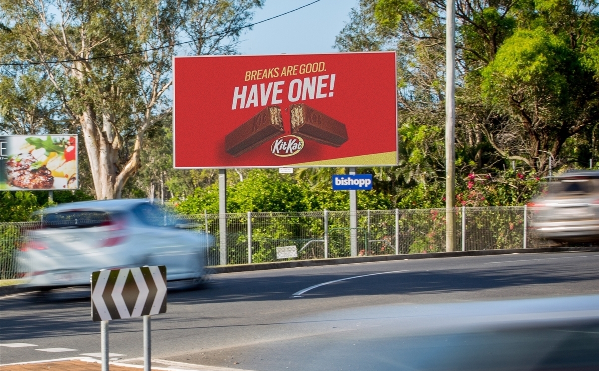
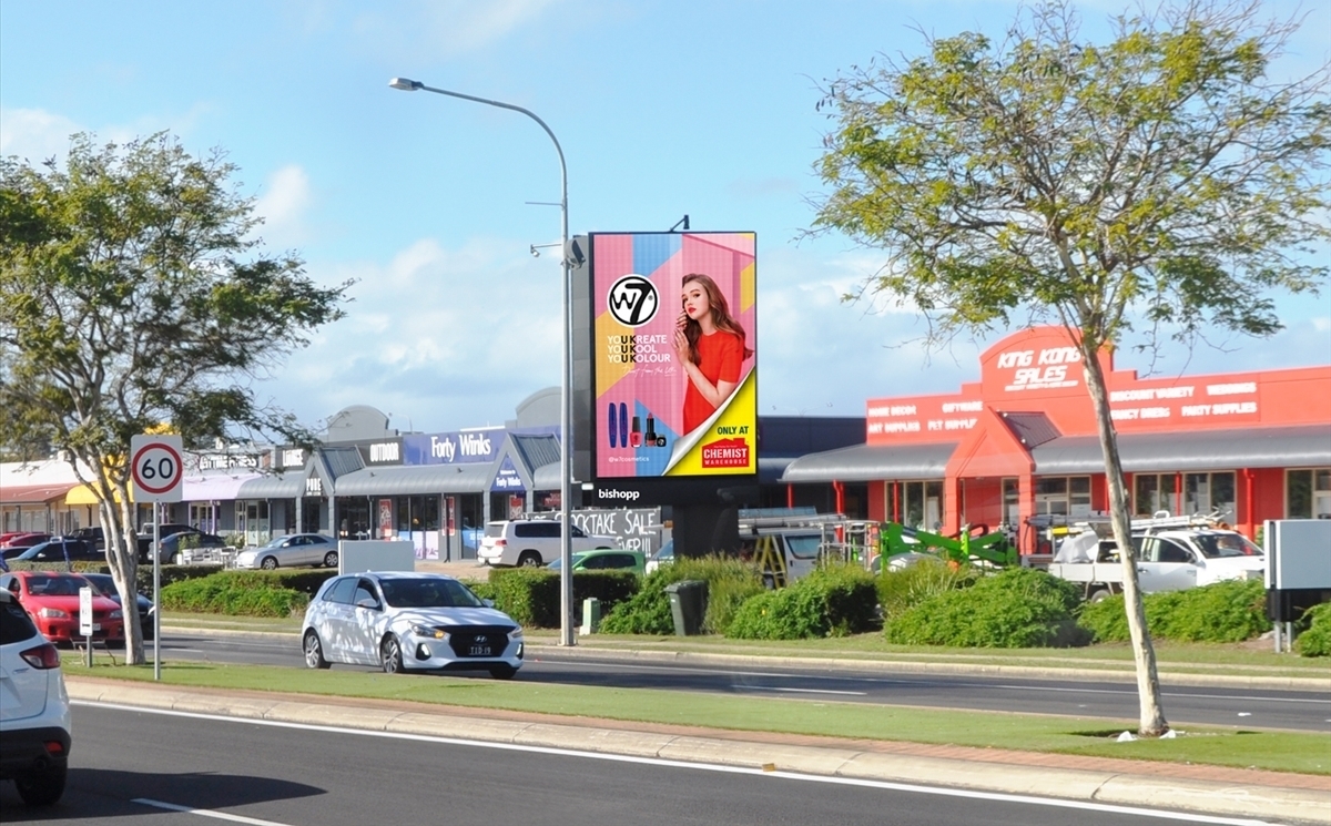
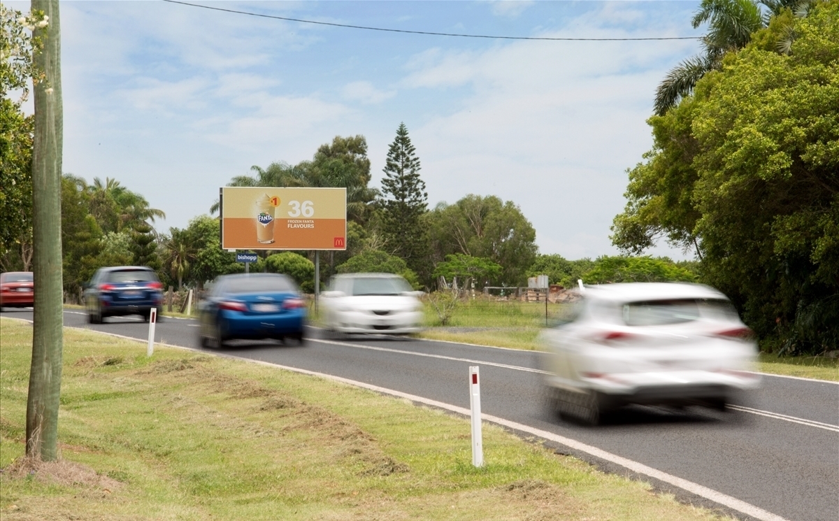
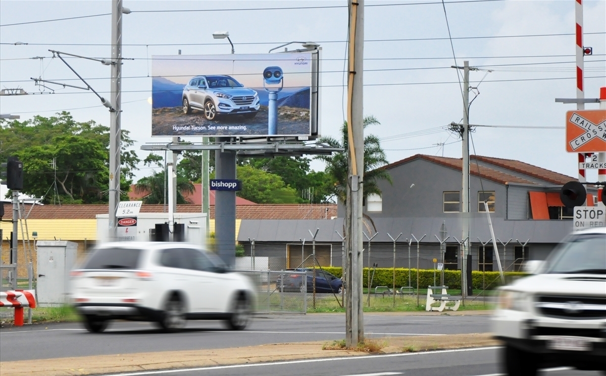
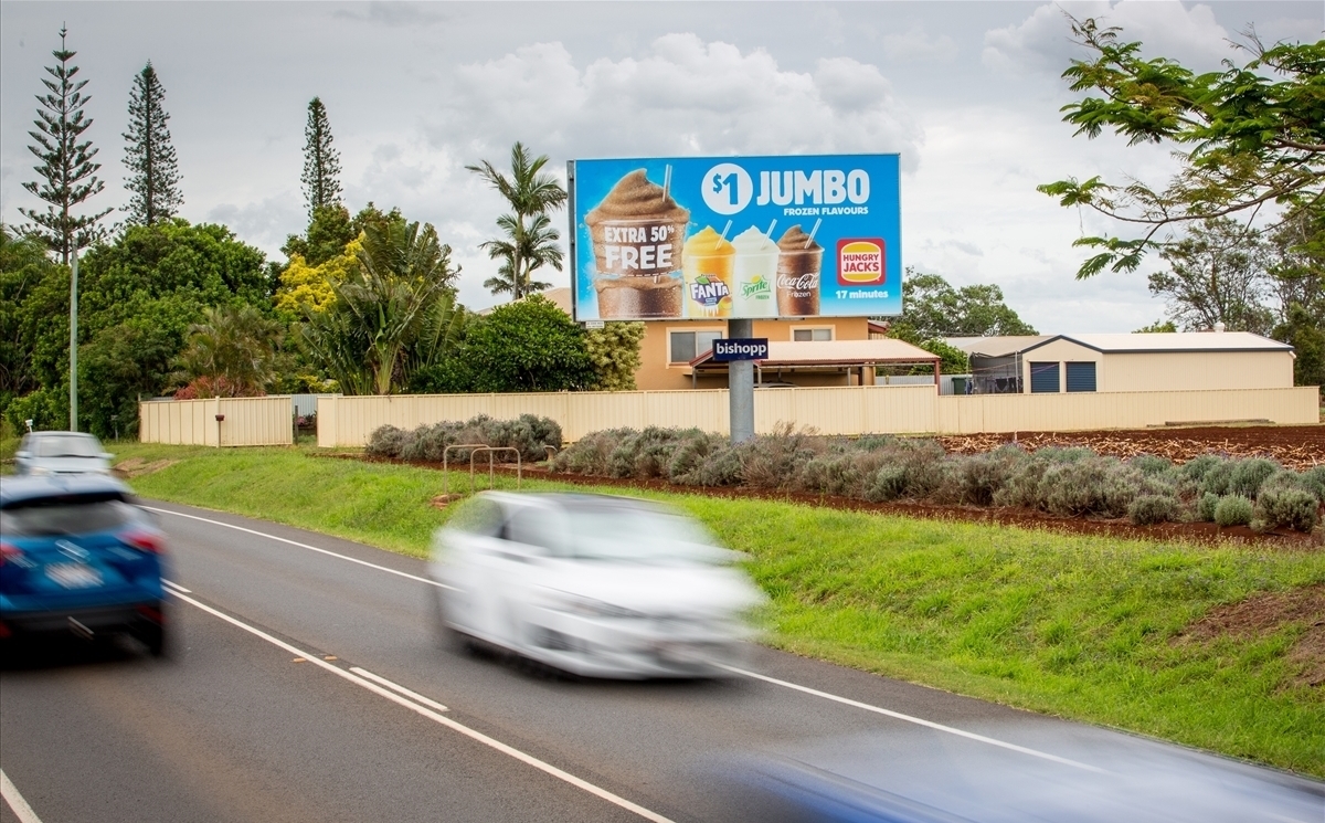
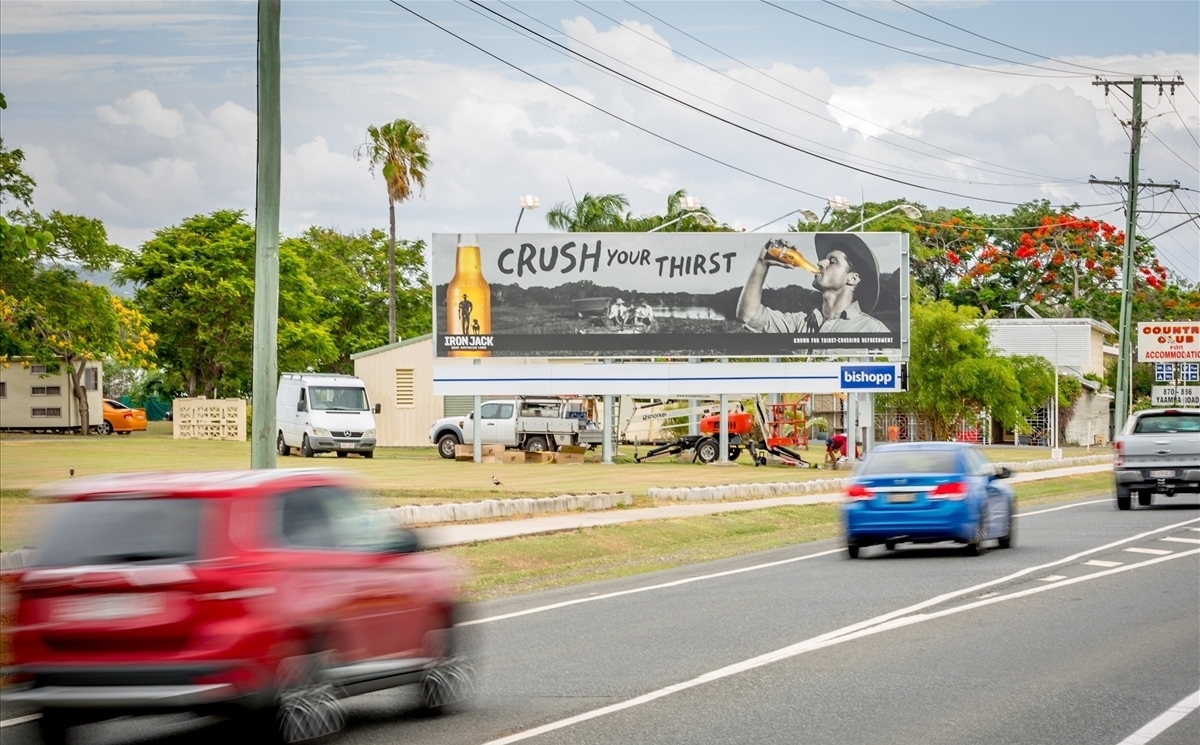
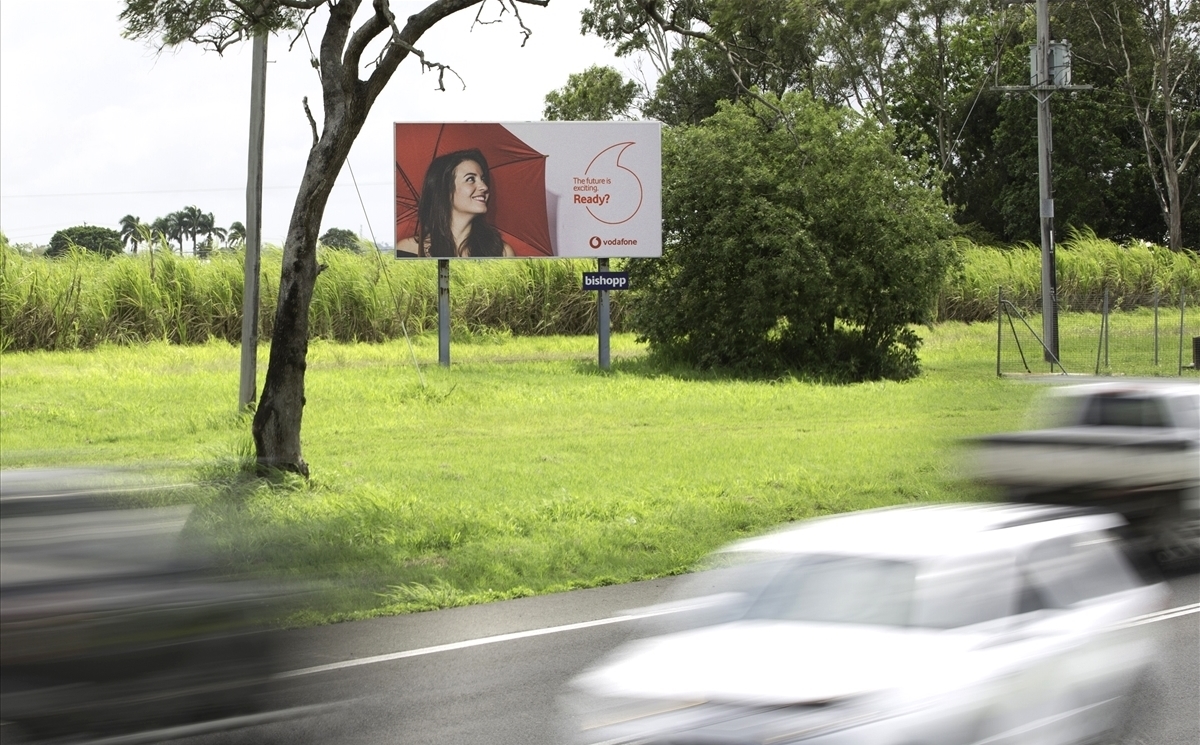
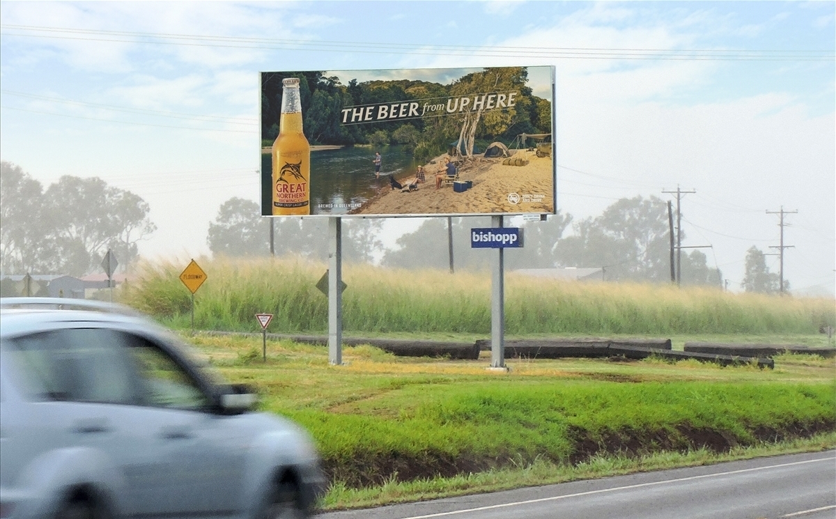
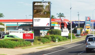
Premium digital billboard on busy Boat Harbour Drive facing traffic travelling from Central Hervey Bay towards Eli Waters and Maryborough.
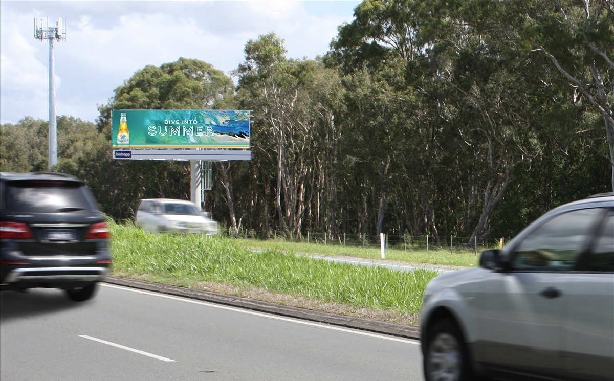
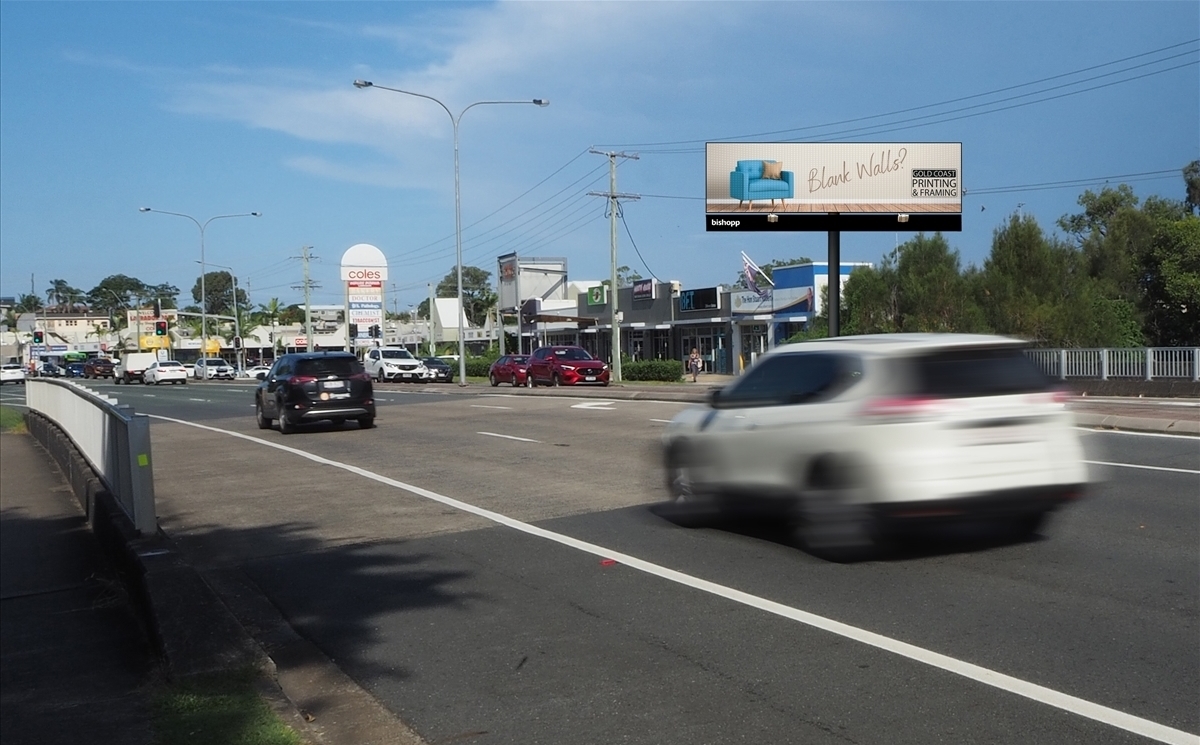
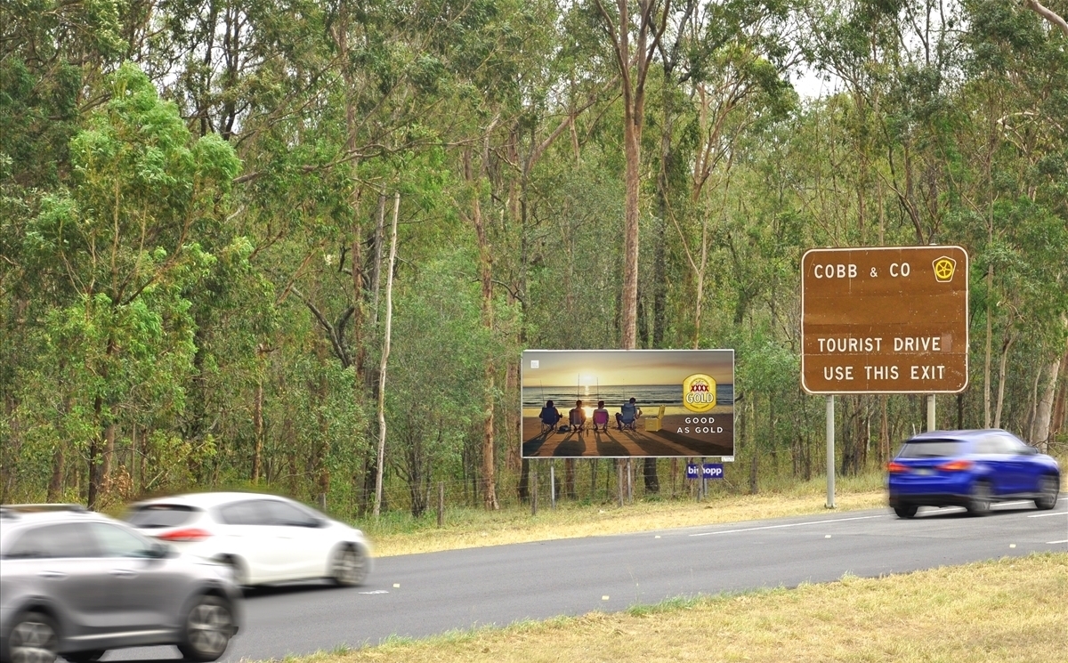
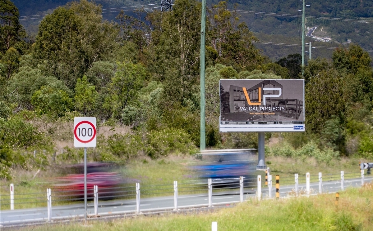
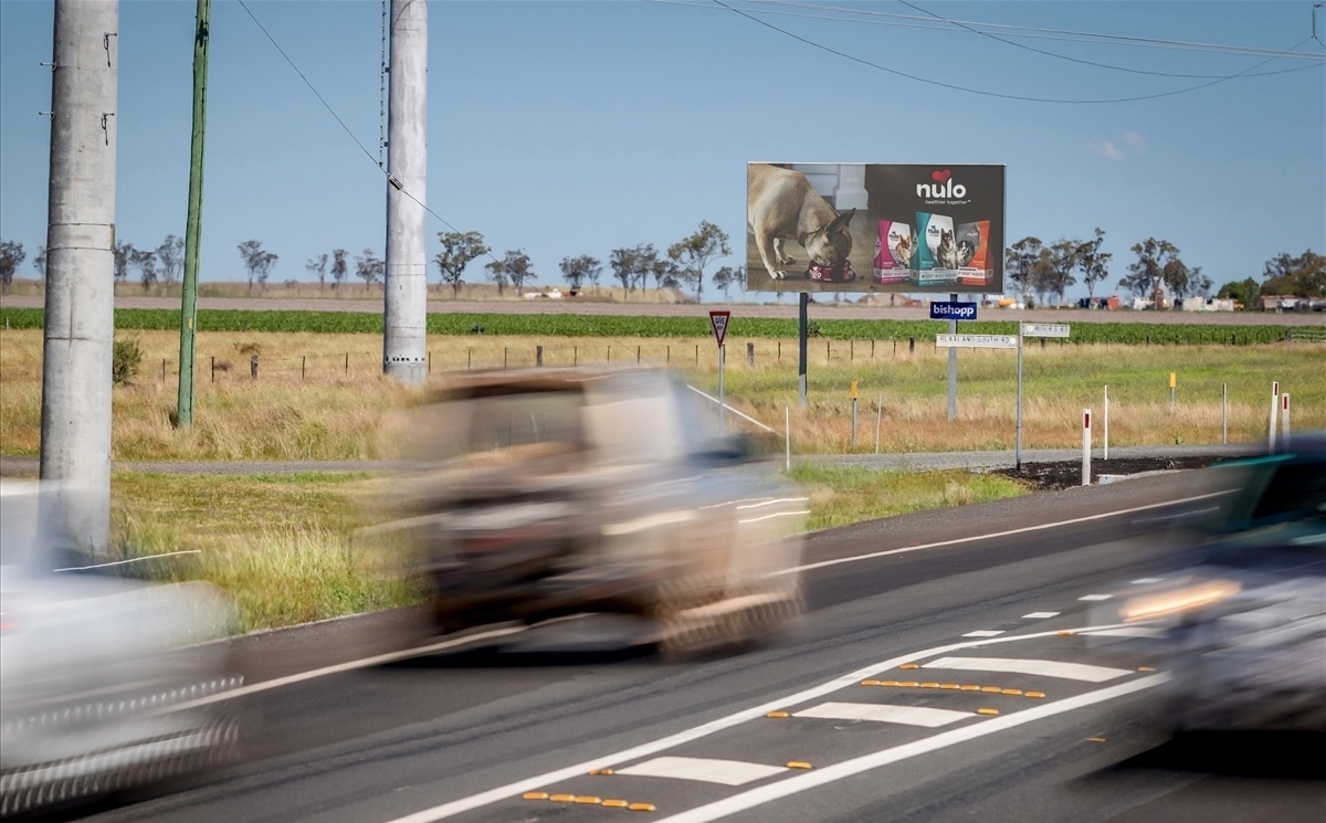
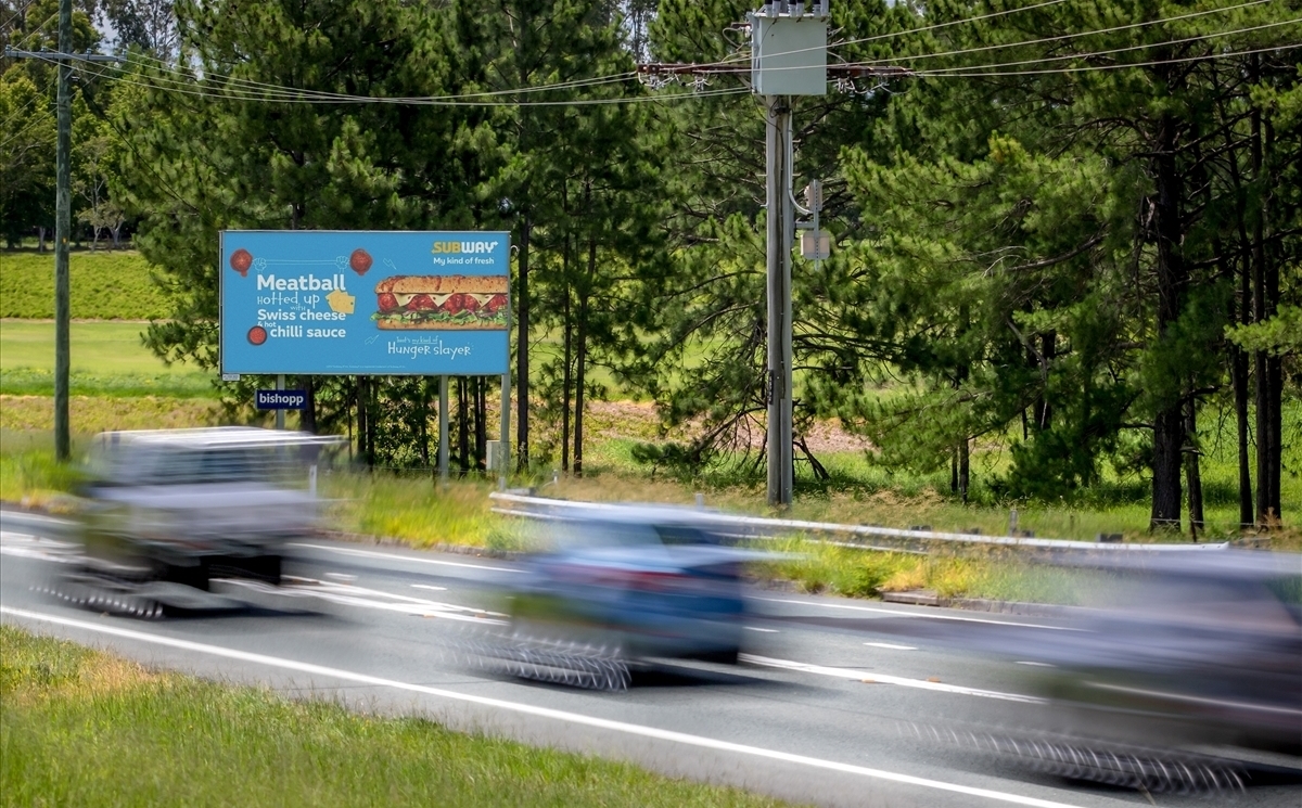
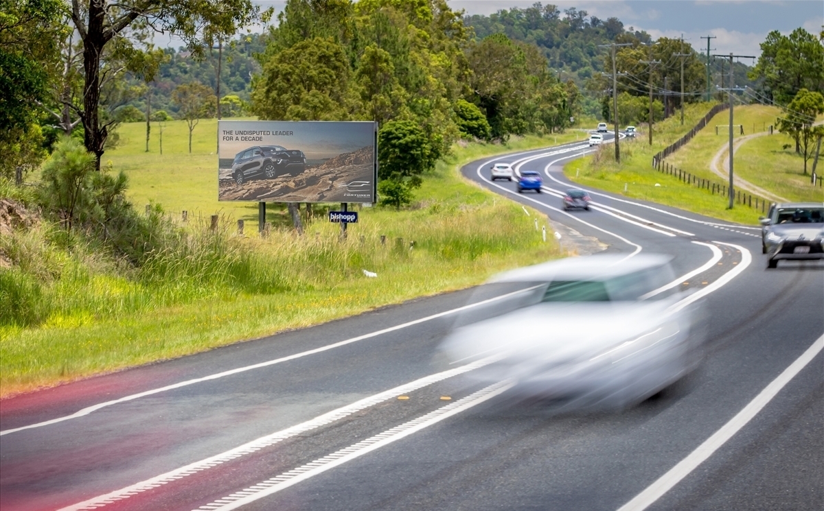
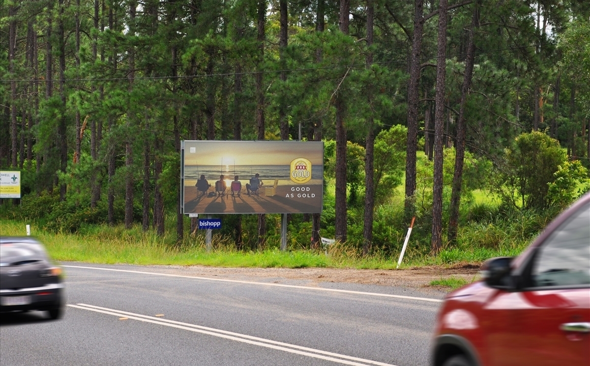
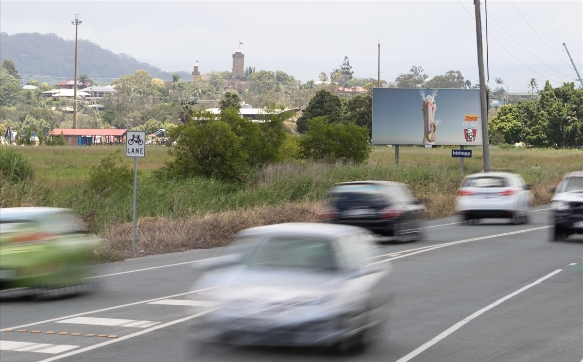
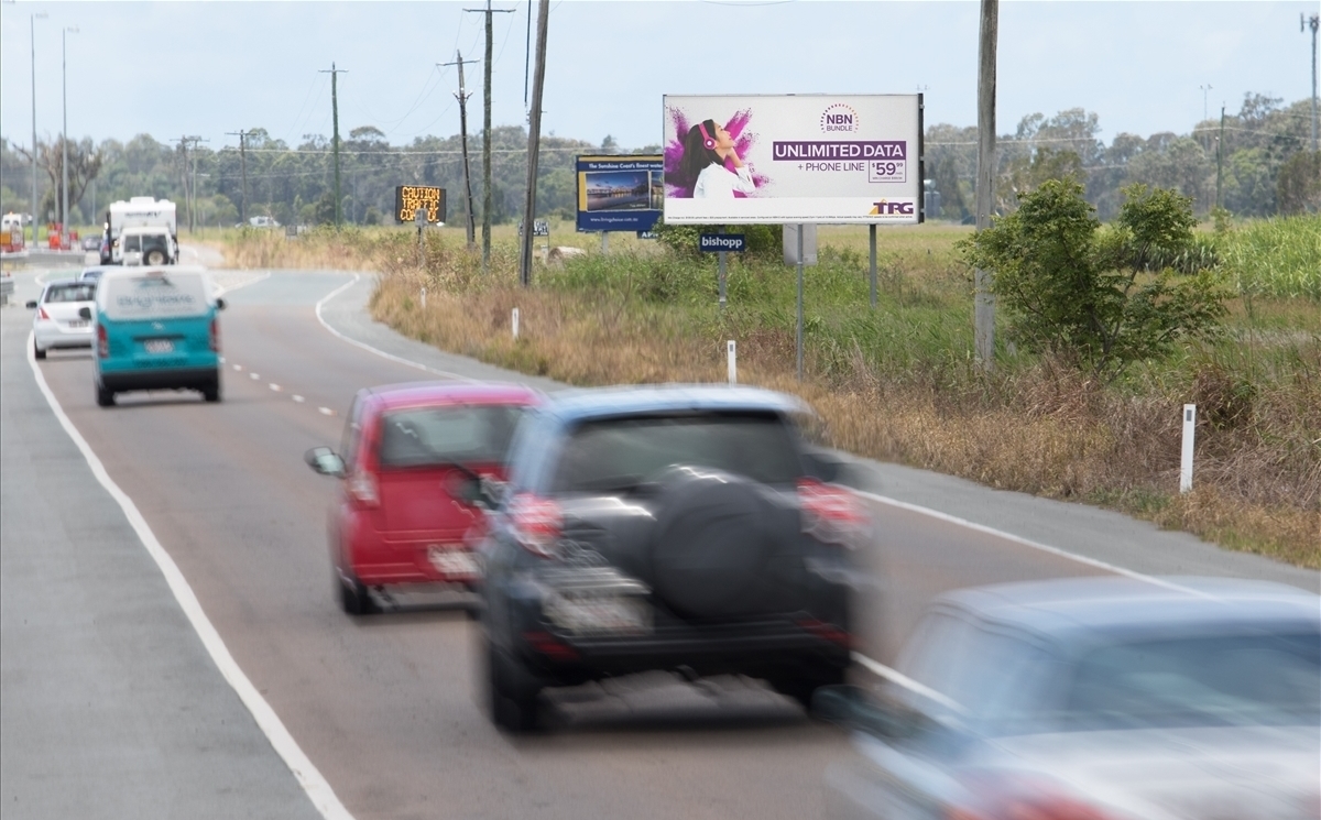
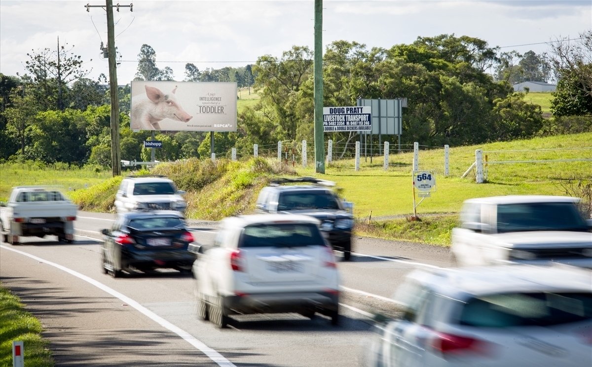
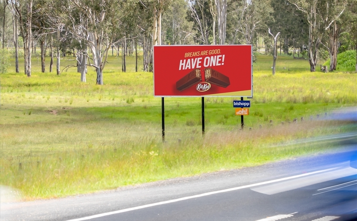
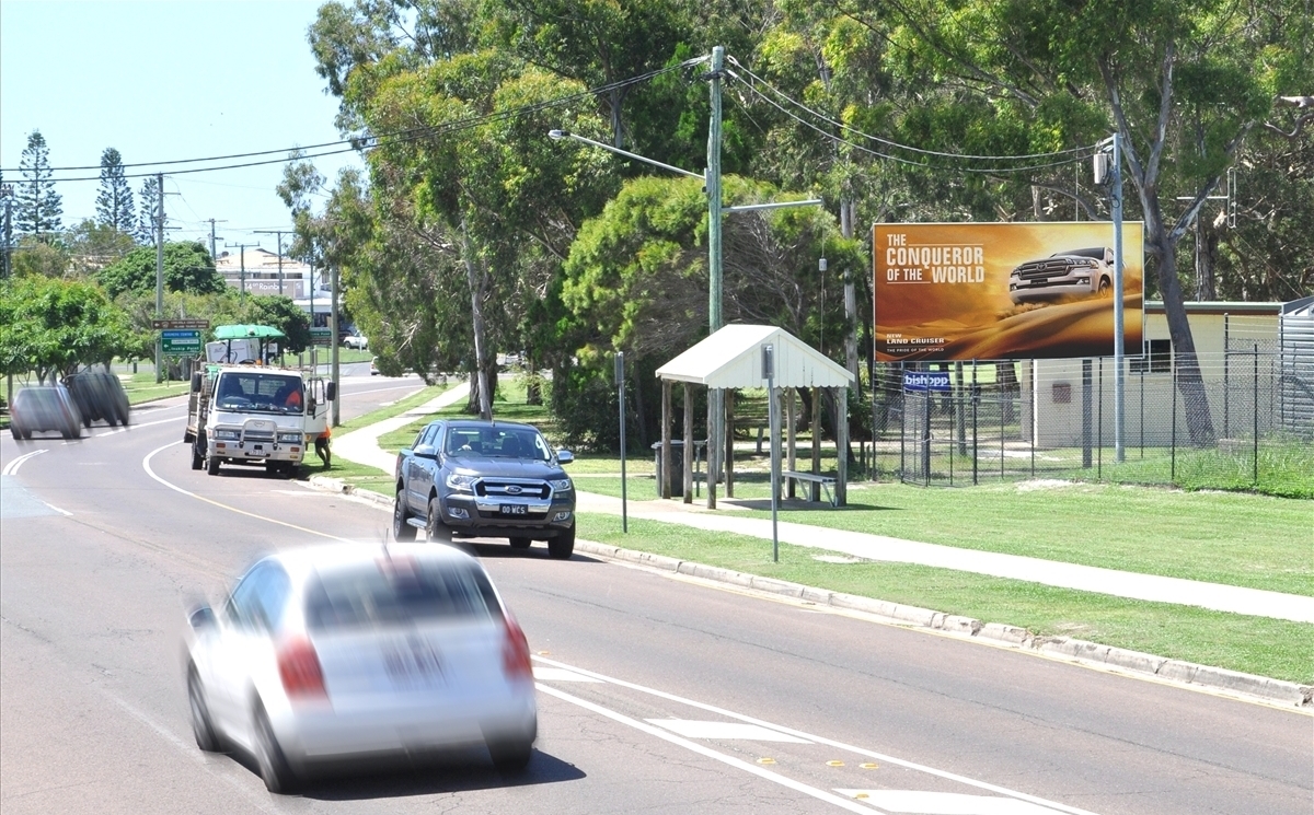
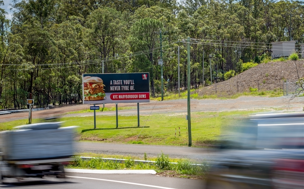
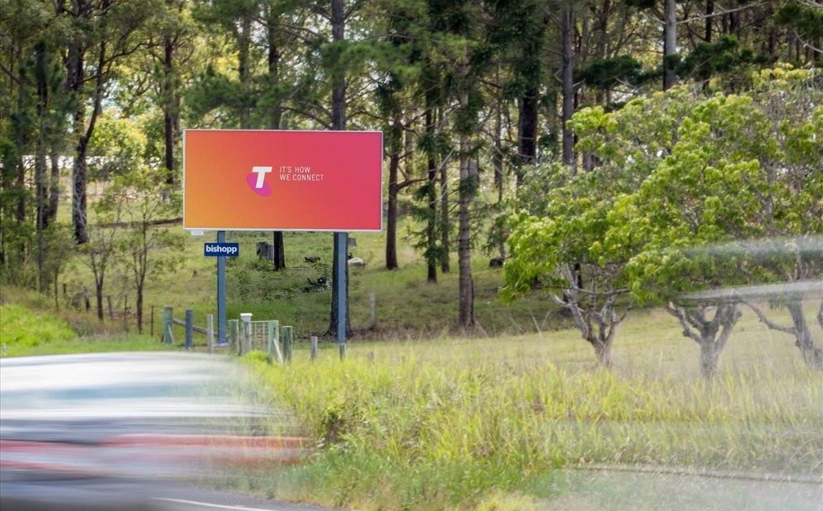
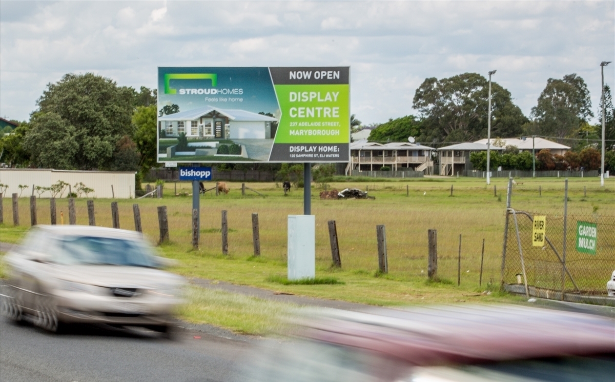
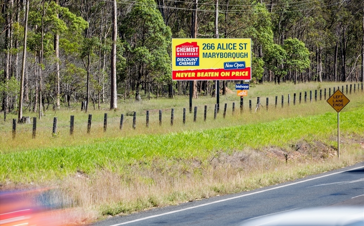
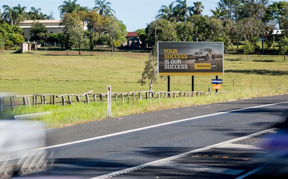
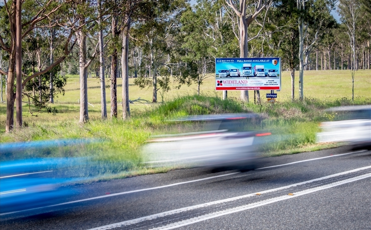
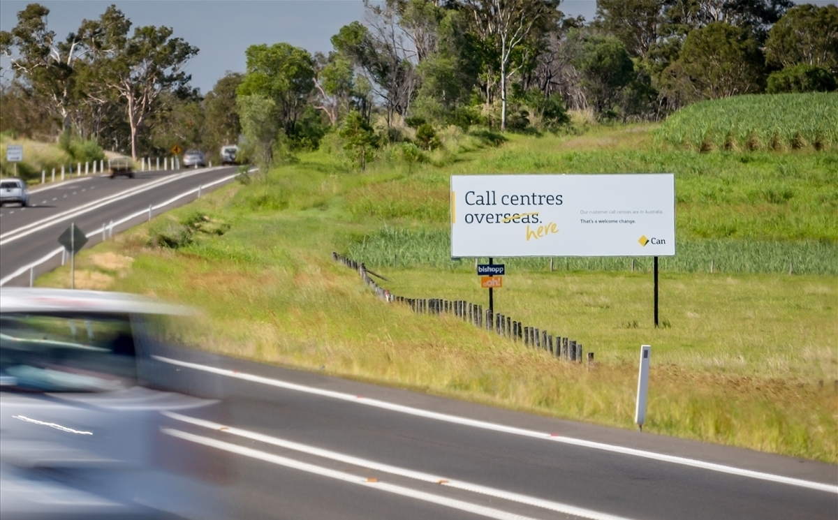
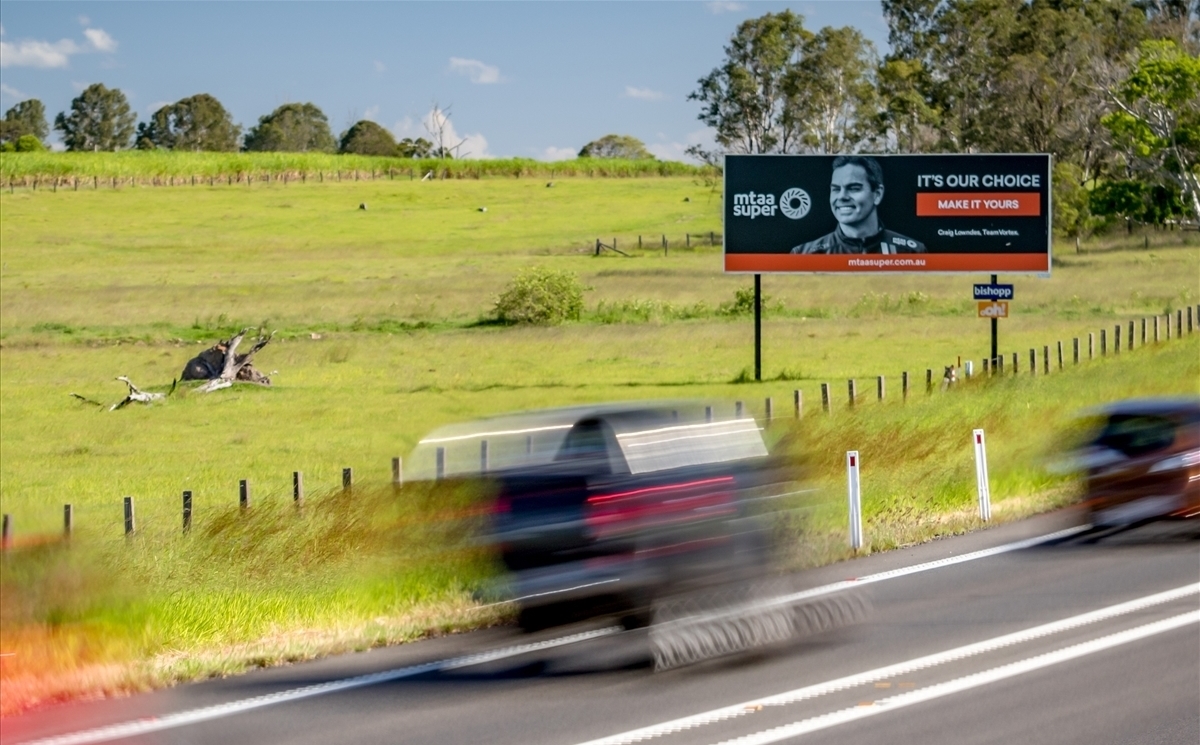
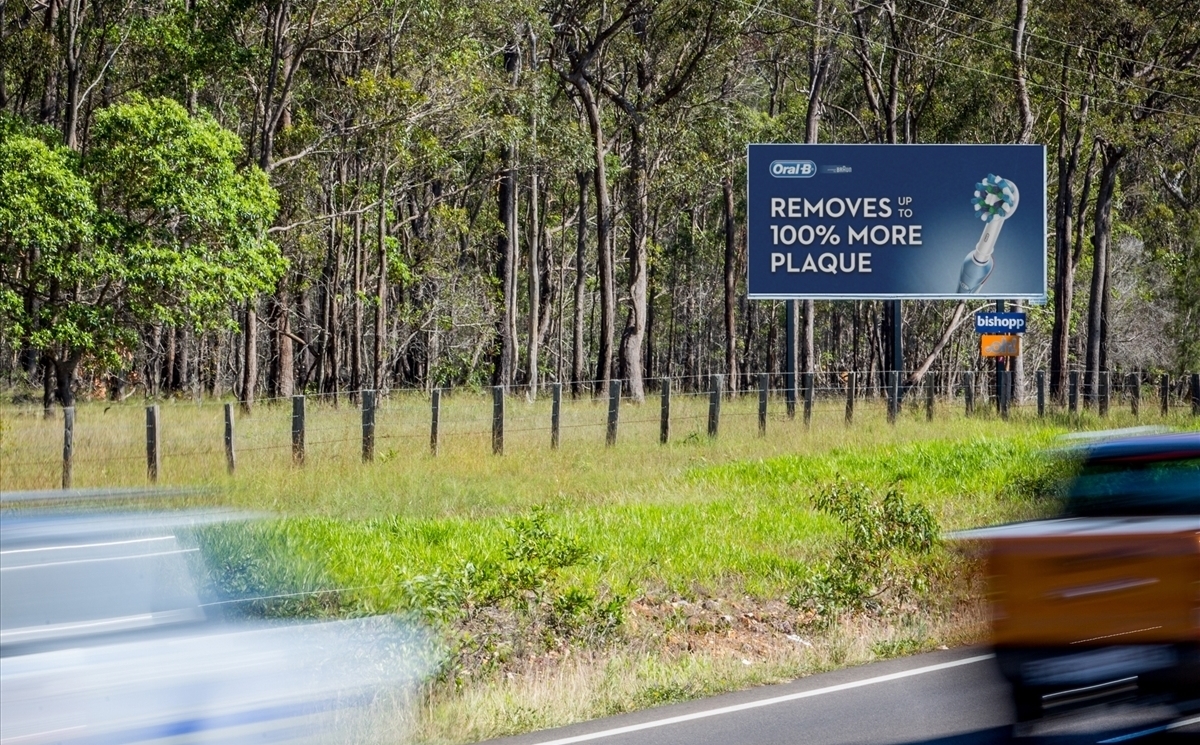
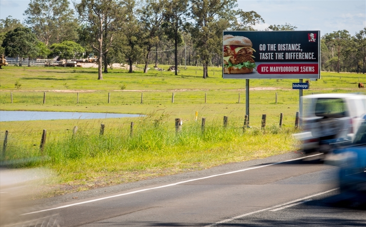
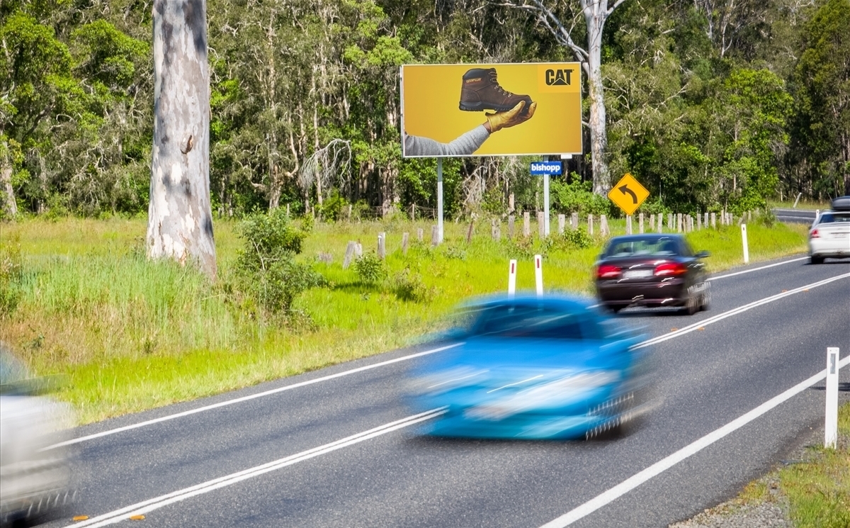
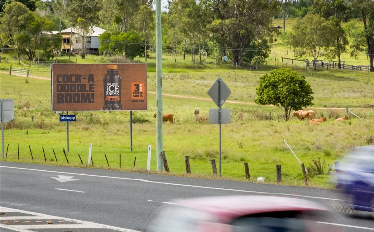
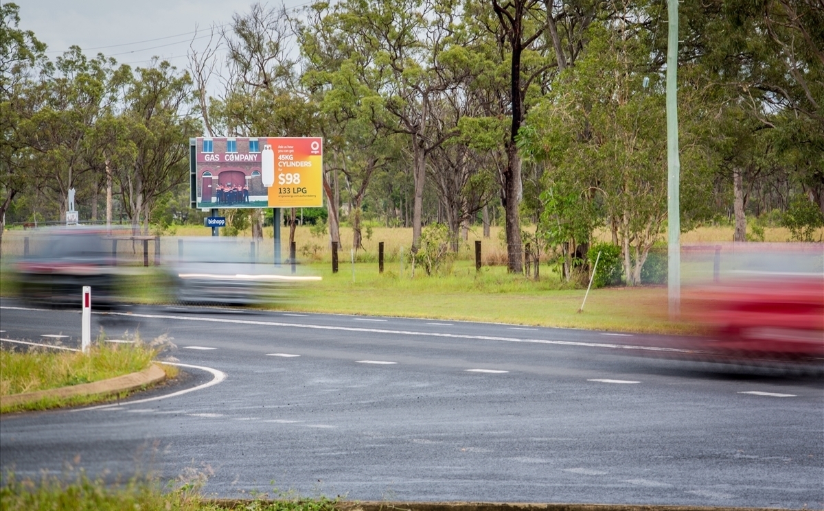
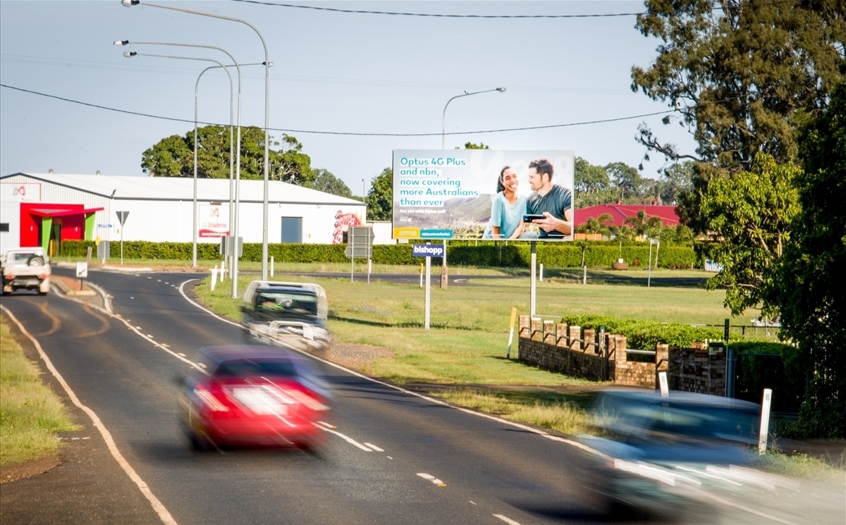
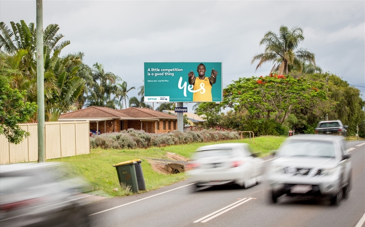
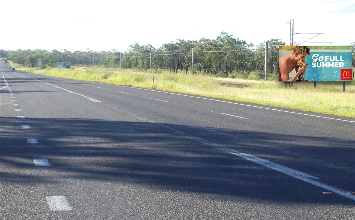
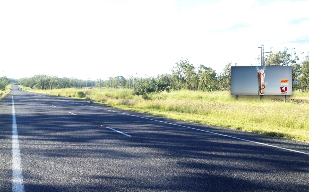
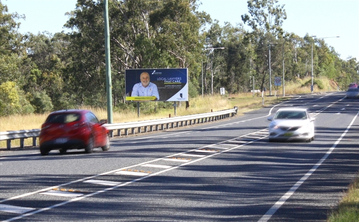
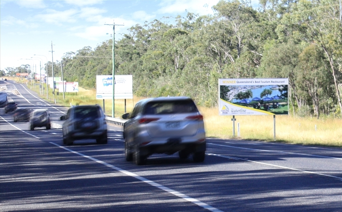
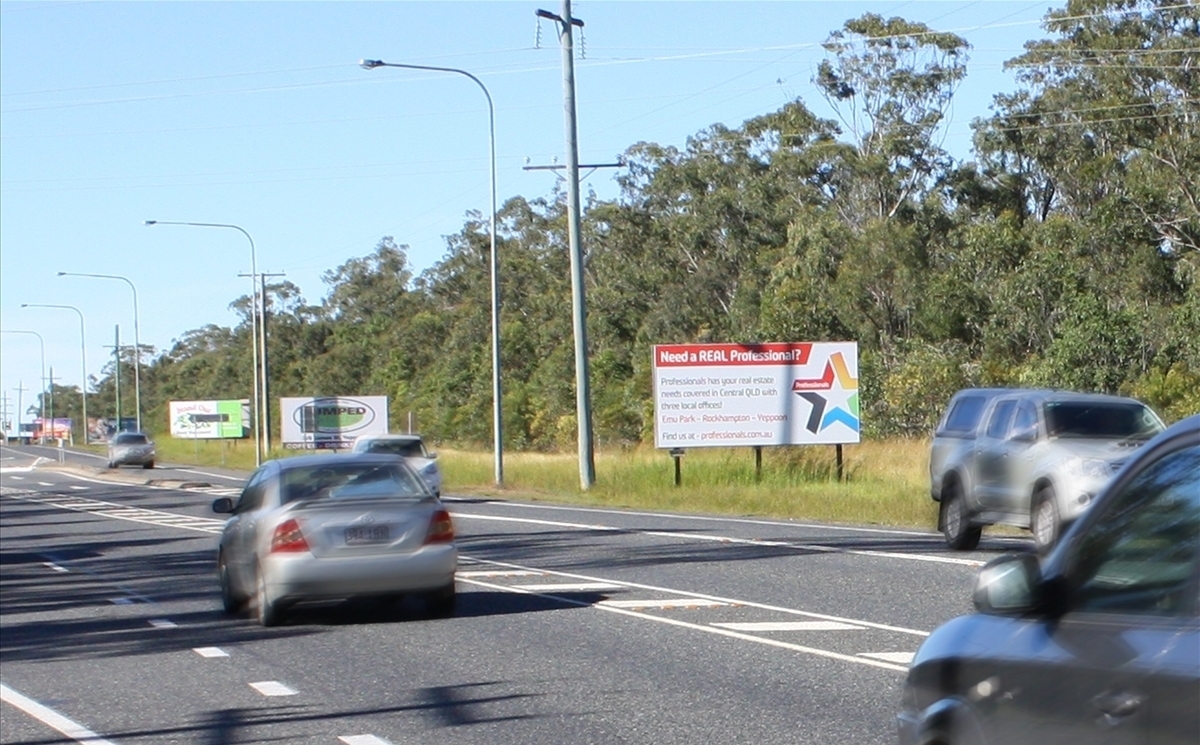
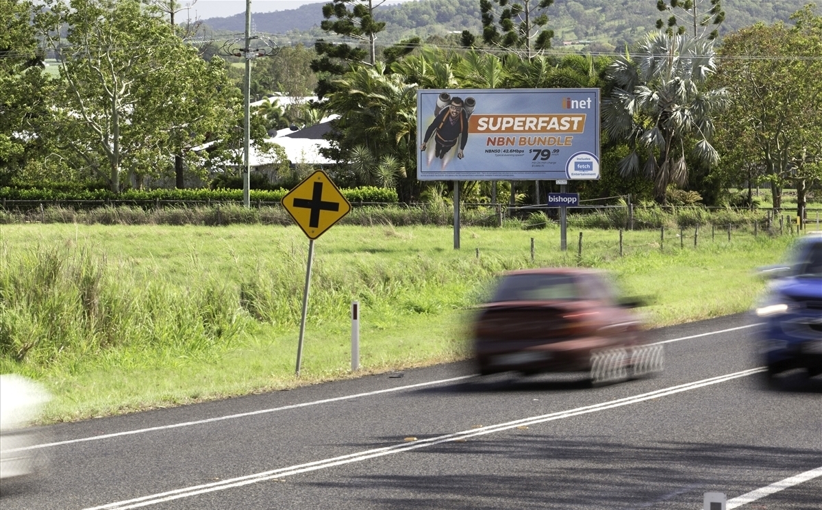
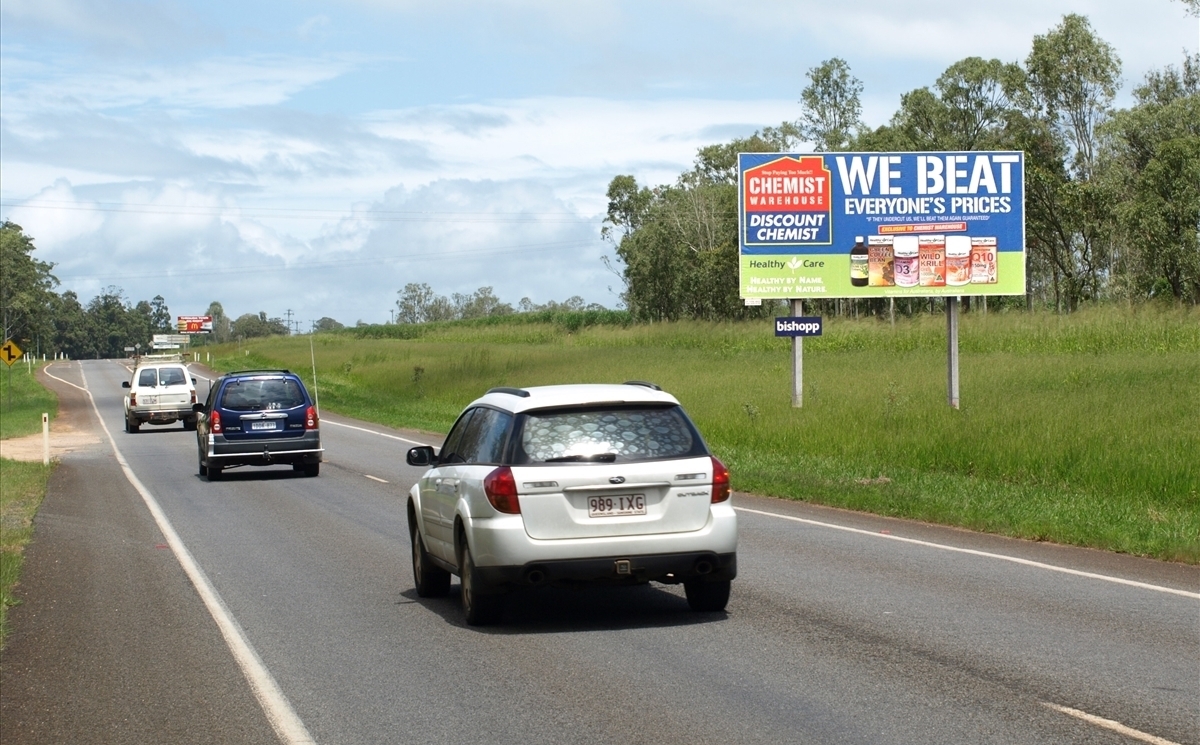
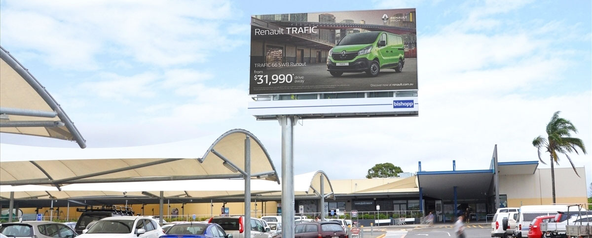
Maryborough Urangan Road facing traffic travelling to Maryborough outbound from Hervey Bay, 6km from the Hervey Bay CBD.